Summer-like heat arrives in Philadelphia region Tuesday. Here's the weather forecast.
The Philadelphia area's weather this week could best be summarized with a song Glenn Frey once sang — "The Heat Is On!" Temperatures are going to be summer-like the next several days, so ditch the coat and replace your wardrobe with shorts, T-shirts and flip flops.
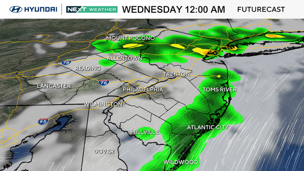
If your air conditioner hasn't kicked on yet, it will likely do so over the next few days, so be ready to make sure it's operational. You may want to check those filters as well. A few evening showers are not out of the question, but widespread rain is not expected.
NEXT big weather changes
We turn the temperature on high with a taste of summer. All this week our highs will be in the 80s, and we'll likely have a few record highs in the 90s on Wednesday or Thursday.
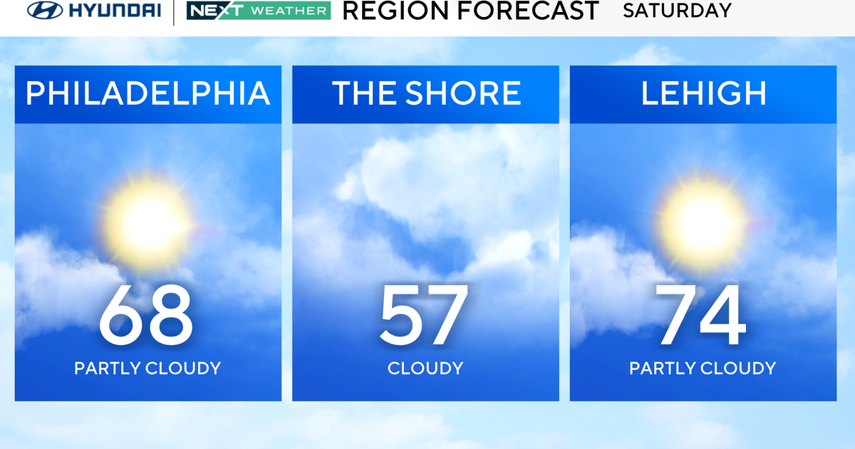
Along the Jersey Shore, expect cooler conditions due to the south winds crossing the much cooler ocean water adjacent to shore.
The week will mainly be dry, with isolated chances for a shower or storm as the heat builds during the week.
The heat will linger into the weekend with our next big change coming Sunday, with a cold front bringing showers and much cooler temps, especially into next Monday.
Here's the 7-day forecast:
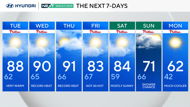
Tuesday: Very warm. High 88, low 62.
Wednesday: Record heat. High 90, low 65.
Thursday: Record heat. High 91, low 66.
Friday: Not as hot. High 83, low 67.
Saturday: Mostly sunny. High 84, low 59.
Sunday: Shower chance. High 71, low 66.
Monday: Much cooler. High 62, low 42.